How to Estimate City Emissions Using Computer Models
Using local sensors to estimate city-wide emissions.
- 3 min read
How to Estimate City Emissions Using Computer Models
Cities have countless number of greenhouse gas sources from buildings and vehicles to industrial units and waste management. Urban regions worldwide play a crucial role in combating climate change by adopting sustainable technologies to reduce their environmental footprints. It is important to constantly measure and model pollutants and greenhouse gases to understand whether the current policies are in-tact to tackle the climate change mitigation plans.
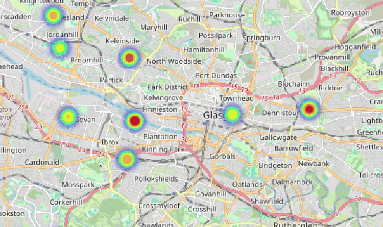
Observations like BEACO2N produces real time measurements of pollutants and greenhouse gases. If we include these observations in the model, the accuracy of the estimates will increase.

Modeling of greenhouse gas emissions gives more detailed understanding of air quality and greenhouse gas spatially and temporally. The models can simulate airflows and other meteorological parameter and track the emission sources in very high resolution. It is almost impossible to measure gases and particles every point in a city, this limitation of observations can be compensated by using models to assimilate these observations to it to better understand emissions from a city. It is worthy to note that both model and observations can have certain errors in estimation, it is important to consider these errors and biases to get a robust understanding of the emissions in the city.

Inverse modelling approach is complex modelling idea which uses multiple stages in understanding the emissions in a city. To apply inverse model we need some knowledge about the emissions in the city. This data of prior knowledge comes from bottom up inventory data, other government agencies and modelled data if available. After gathering this data we use our observation from BEACO2N sensor data to update the this knowledge of emission. Since concentration and emissions are two different concepts, we need to find the emission from the concentration we measured. To get that we need to use a atmospheric transport model which simulate particle flow backwards in time from when we observed a particulate concentration of CO2 at the observation site. This technique links the concentration with the emission sources. Transport model needs high resolution meteorology data to drive the particles, to generate this data set we use a weather research forecast model. Using the weather research forecast model output data (wind, temperature, solar influx, humidity..etc) the transport model disperse pollutants and gives the idea about emission sources. This over all process reduce the the prior inventory uncertainties and gives us new (updated) emission map of the city.

